- Nova Scotia
- Nova Scotia Hiking
- Franey Mountain trail
Franey Mountain
...well worth the climb...
The Franey Mountain hiking trail is one of the most
challenging hikes in the Cape Breton Highlands National Park. It is a hike to the top of a mountain
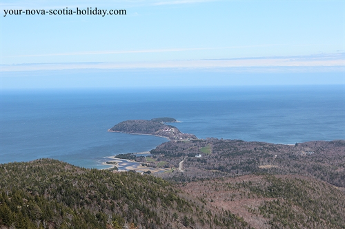
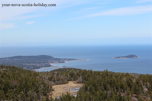
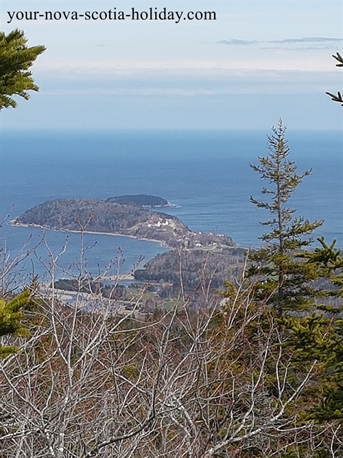
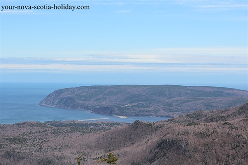
that will treat you to a fantastic view of Cape Smokey, the Highlands, North
Bay and South Bay Ingonish, Ingonish Island and Middlehead.
Before you go
Directions: This trail is about 10 minutes north of the Ingonish Visitor Information Centre (VIC) for the Cape Breton Highlands National Park. You will be on the Cabot Trail. When you are in the VIC make sure you ask for a map of the park. This map will show you where all the hiking trails are located. Look for #22.
You'll need to pay an
entrance fee to the park. The fees are
very reasonable and you'll need to pay a fee even if you are only staying a day.
GPS at trailhead: N 46o 39' 38.8" W 60o 25' 22.1"
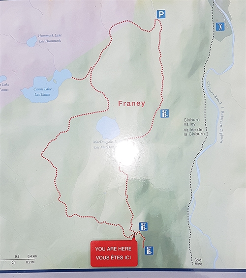
Distance: 7.4 km (4.6 mi) loop
Elevation: 95-430 m (310-1410 ft)
Time: 2-3 hours
Level of Difficulty: difficult with very steep sections as you climb
Food/Water: Water is always necessary. There are no picnic facilities on this trail, however, the top of Franey is a great place for a picnic. Light snacks are also a good idea.
Clothes/Accessories: A sweater or light jacket as it can be very windy once you reach the top; hiking boots; walking pole; insect repellent; binoculars and a camera.
Facilities: Pit toilets at trailhead.
Okay - Let’s Get Hiking
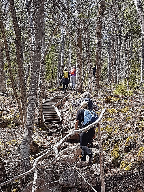
You will start your climb as soon as you start the trail. The trail is very well maintained and does have several sets of stairs. Watch your footing as you climb as there are lots of tree roots and large rocks along the trail.
I don't recall any times during the ascent when I was not actually going uphill. So be prepared!
Look behind as you get higher. You'll start to see partial views of the ocean, Middlehead and Cape Smokey. This hike is quite special because you can see all of the Ingonish area from the many vantage points.
There used
to be a fire tower at the top but Parks Canada removed it. This is unfortunate as the Tower was used as
a marker point by the local fishermen.
Take your time and enjoy the view once you reach the top. Try to do this hike on a sunny day. You'll be able to see further.
You'll be able to
find the fire access road quite easily.
This will take you back to the trailhead. I found the walk back a bit long but it is
certainly a lot easier than the climb.
I was with a group from Hike Nova Scotia when I hiked this mountain. A truly fantastic hike.
After your hike on Franey Mountain
This trail is located in the heart of the Ingonish area which is located on the Cabot Trail. The northern part of the Cabot Trail is in the Cape Breton Highlands National park. This is a fantastic area for spending some vacation time.
The highlands national park is full of great activities for everyone. Check out my information about
the park in the Ingonish area and you'll see great opportunities for camping,
golfing, hiking, sightseeing and spending some time at the beach.
The Visitor Information Centre (VIC) for the park in Ingonish will be able to let you know of any current activities happening during your visit.
There are also great accommodation options in this area. I always use Trip Advisor when looking for a place to stay. Always helpful with lots of customer comments.
Check Trip Advisor for restaurants too. Very helpful!
- Nova Scotia
- Nova Scotia Hiking
- Franey Mountain trail
Have you hiked Franey Mountain?
Do you have a great story about it? Please share it with us!
Please share this page with your friends.
